
The Journal
National Parks for Beginner Winter Hiking
The best national parks for beginner winter hiking: five parks with short trails, accessibility notes and links to current conditions.
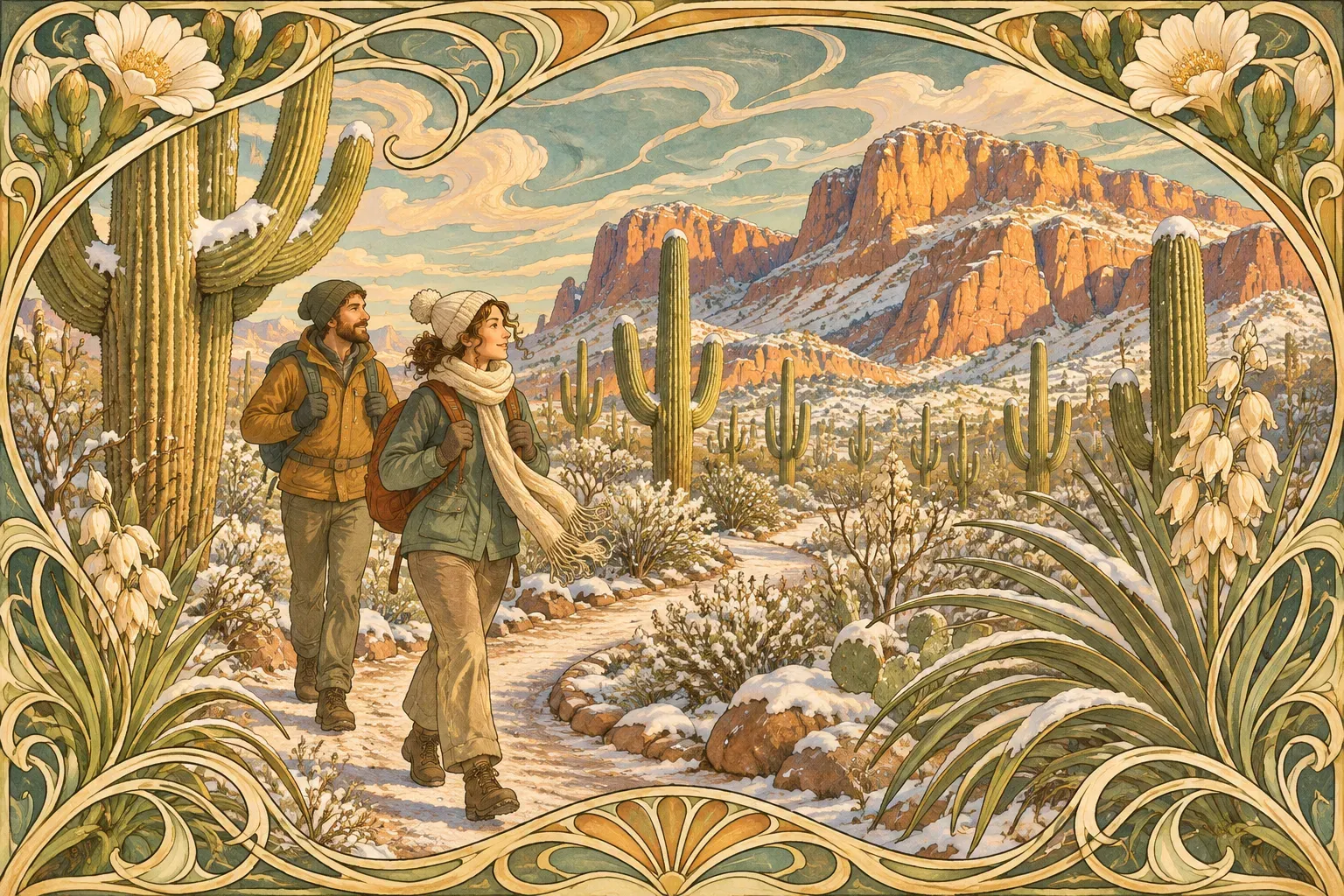
National Parks for Beginner Winter Hiking is not limited to a single image of winter. Winter hiking can be a pleasant stroll through desert flora, a boardwalk over a Florida swamp, or a snow covered mountain trail.
Below is a list of 5 of the National Parks for Beginner Winter Hiking. The short walks in these parks are paved or boardwalked, while others are rough on rocks, sand or steps. An easy rating does not necessarily mean that the trail is suitable for your mobility, weather or road conditions.
Start with the route you want to take and check the road, weather and park notices for any current conditions or closures. Even short walks deserve a proper plan for your trip.
What Makes a Park Good for Winter Hiking?
A favorable winter pattern is a starting point, not a forecast. Lower desert elevations can be comfortable when summer heat makes longer walks unwise. South Florida’s dry season brings different opportunities. Higher ground in the same park can be cold, windy or snowy. Rain can make a desert wash or unpaved road a poor choice.
Trail distance, surface and elevation change are things you can find on the National Park Service website for each trail. Be sure to look for accessible restrooms, too. However, just because a trail has accessible restrooms does not mean that the entire trail is accessible.
There are many factors that must be taken into account such as daylight, the local sunset time and planning to return before dark. Is your vehicle able to reach the trailhead? Are there water stations along the way and is there a restroom or visitor center open? Do you have cell service and is there an emergency response plan in place? Leave a route and return time with someone who can act in your place should you not return.
The descriptions for National Park Service hiking trails are from the website as of November 2, 2026. This information can change at any time.
Death Valley National Park
While Death Valley National Park is known for its extreme temperatures during the summer, much of the park is best experienced during the November to March winter season. Winter hiking in the desert is still desert hiking, so be sure to bring plenty of water and be aware of any potential weather conditions or road damage. In addition, the mountains in the park can be covered in snow and ice, so be prepared for these types of conditions if you plan to hike in the higher elevations of the park.
A short, interpretive trail near the Furnace Creek Visitor Center is Harmony Borax Works. The hiking page for Death Valley lists a 0.4 mile loop for Harmony Borax Works. The accessibility page for the same area lists a 0.25 mile trail and describes it as partly paved with sand, gravel, broken pavement and uneven surfaces with dips. It is best to treat the approximate distance with skepticism and check with a ranger about the route for your specific needs. The site has an accessible parking space but assistance may be needed at times.
The Badwater Basin area includes a ramp to a boardwalk which leads to the edge of the salt flats. The NPS states that the closest side of the salt flats is about 1 mile round trip from the end of the boardwalk. However, the boardwalk itself is a shorter option. The salt beyond the boardwalk can have holes in it and become very muddy after a rain.
The Salt Creek Trail, on the other hand, is a 0.5-mile accessible boardwalk, according to the park’s hiking page, and was reopened on February 21, 2026, according to a park release. However, another NPS accessibility page for the same area still lists it as closed. Check with the park regarding the boardwalk and the unpaved road to get to it before planning a hike here. Check the current conditions for Death Valley’s other hiking routes as well.
Big Bend National Park
The principal visitor season for Big Bend is November through April. Big Bend contains desert, river, and mountain environments. A pleasant afternoon on the river will not prepare you for the Chisos Mountains or for nighttime temperatures.
The 50-yard long Panther Path, located near the information desk at the Panther Junction Visitor Center, is a short introduction to the desert plants that can be found in the park. This trail is wheelchair accessible.
The Rio Grande Village Nature Trail is a 0.75-mile loop beginning near the campground. Its first section crosses a wetland on a boardwalk, then the route climbs a limestone hill. NPS identifies the first 100 yards as wheelchair accessible. Do not assume the entire hill loop has the same access. NPS pages differ on elevation change. Ask a ranger if climbing is a concern.
Big Bend is a large, remote park. Be sure to include fuel, water and travel time in your plan. Some of the roads in the park require a high clearance four wheel drive vehicle. Be sure to check the park’s conditions page for current road closures. Currently the paved road between Cottonwood Campground and Santa Elena Canyon is closed due to weather. This is not the approach for the two short walks listed above. Be sure to recheck the road conditions for your specific route before heading out.
Saguaro National Park
The park is located on both sides of Tucson, Arizona. The Tucson Mountain District is located on the west side of town, while the Rincon Mountain District is located on the east side of town. Be sure to check the map for each of the two districts to determine how to get to each of them. Winter days at the lower elevations can be mild, but can vary greatly from day to day and even from hour to hour.
Desert Discovery Trail (0.5 mile, paved) is a paved trail on the west side of the park located in the Desert Discovery Center. This trail is wheelchair accessible and includes many benches as well as shade structures along the trail. It is an excellent short hike to view many desert plants. Check the surface of the trail and the location of facilities before beginning your hike.
For a short hike on the east side of the park, take the Desert Ecology Trail off of the Cactus Forest Loop Drive. This is a 0.25 mile paved loop that has a 60-inch width, several benches along the trail and a maximum recorded grade of 4.4%. Check for changes in the trail surface as you hike.
Carry plenty of water and wear sun protection even on cool days. Note that the conditions page for the east district lists all trails open as of September 2026. However, that was some time ago and the higher Rincon routes have different elevations and potential hazards than these short desert walks. Check with the visitor center for more information about the route you plan to take and where to get water along the way.
Joshua Tree National Park
The desert of Joshua Tree National Park can be cool during the winter months with temperatures dropping below freezing at night. There can also be occasional snow at higher elevations. Be sure to check the forecast for the actual location that you will be visiting as weather can vary greatly from town to town. Also, keep in mind that wind can also affect conditions on the trails.
The Hidden Valley trail is a 1 mile loop through some of the rock formations in the park. This is considered an easy hike but there are some stairs and rock steps at the beginning and end of the trail. The trail consists of compact dirt, sand, gravel, rocks and some steep sections. There is little to no shade on this trail and there is no cell service.
Barker Dam Nature Trail is an easy 1.1-mile loop through the area of the Barker Dam. The trail is mostly on compact dirt, sand, and some rocky sections. There are no paved sections. The area of the dam may be dry. Stay on established trails and respect any cultural resources that may be found along the way.
The parking lots for these popular places can fill up quickly. The NPS provides a current closure map for the visitor. The live contents of this map could not be verified for this guide. However, you can contact the park or check the current closure map on the park’s website before making a trip to these places. Note that having an accessible restroom at the trailhead does not necessarily mean that the entire trail is accessible.
Everglades National Park
The Everglades National Park in Florida is another great place for winter hiking. According to the NPS dry season guide, the cooler, drier visitor season extends from late fall into spring. Of course, weather can be very unpredictable and there can be lots of insects around, but there is also lots of wildlife to see. Just remember to give the animals plenty of space and follow the park’s rules regarding photos of wildlife.
The Anhinga Trail at Royal Palm is an 0.8 mile round trip through the sawgrass marsh. The trail is paved and the boardwalk is wheelchair accessible. This is a great trail to watch for birds, turtles, and alligators on. It is not a long hike so you can spend as much time as you want looking for wildlife.
The Gumbo Limbo Trail is a short, .4 mile round trip walking trail through the hardwood hammock near the Royal Palm visitor center. This paved trail is wheelchair accessible. Check the current surface conditions as well as hours for facilities along the route.
The park’s alerts page lists current openings and closures. Information can change after severe weather or after park maintenance. Check the Royal Palm area as well as the road you will be traveling on. Note that although the dry season is upon us, there is no guarantee of dry footing. Also note that there is no guarantee of current conditions on the day you plan to visit.
Winter Hiking Comparison Table
Note that the distances given for the short walks are approximate NPS figures and may vary. Be sure to check on the current status of the trail as well as the approach road to the trail. Also, the information given about accessibility refers to the specific features mentioned and may not be suitable for everyone.
| Park and state | Typical winter pattern | Short walks and surface | Main caution and current information |
|---|---|---|---|
| Death Valley, California and Nevada | Cooler lower elevations, colder mountains. | Harmony Borax Works – 0.4-mile loop on hiking page, partly paved and uneven. Badwater Basin – about 1 mile round trip on salt, with a shorter ramp and boardwalk to the edge of the salt flats. | |
| Big Bend, Texas | Main visitor season, variable desert and mountain temperatures. | Panther Path – 50-yard accessible loop. Rio Grande Village – 0.75-mile loop with accessible first 100 yards and a hill beyond. | |
| Saguaro, Arizona | west district Desert Discovery Trail, 0.5 mile, paved and accessible; east district Desert Ecology Trail, 0.25 mile, paved loop | Sun, water and different conditions at elevation. Conditions. | |
| Everglades, Florida | Cooler, drier season from late fall into spring. | Anhinga – 0.8 mile, pavement and boardwalk. Gumbo Limbo – 0.4 mile, paved. NPS describes both as wheelchair accessible. | Wildlife, weather and changing facility status. Conditions. |
What to Pack for a Winter National Park Day Hike
Match your supplies to the forecast, distance, elevation and your own needs. A visitor center sidewalk and a remote desert hike do not call for the same plan.
- Layers for temperature, wind and rain, including something warm for a delay.
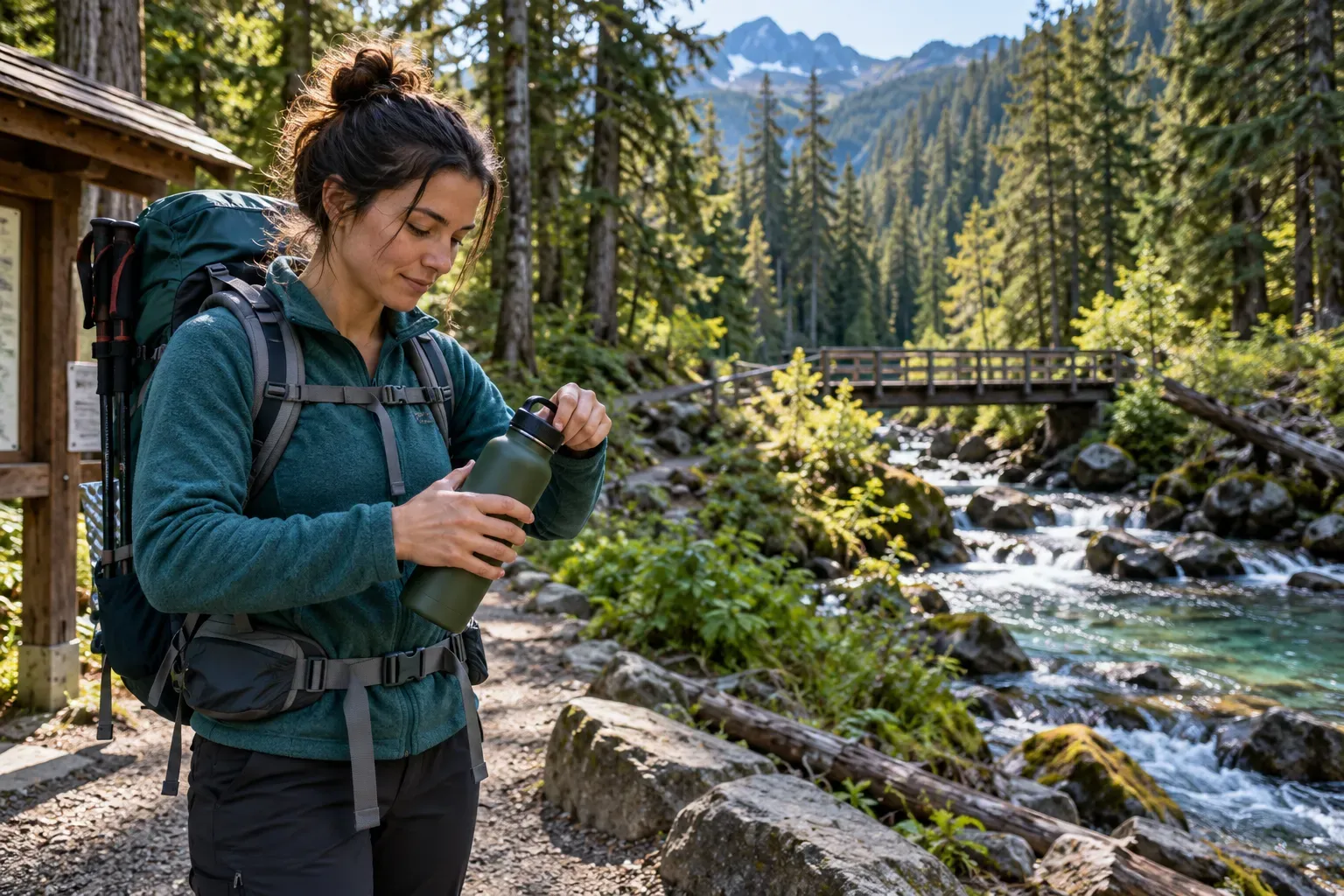
- Drinking water and food for the outing, plus a plan for where water is available.
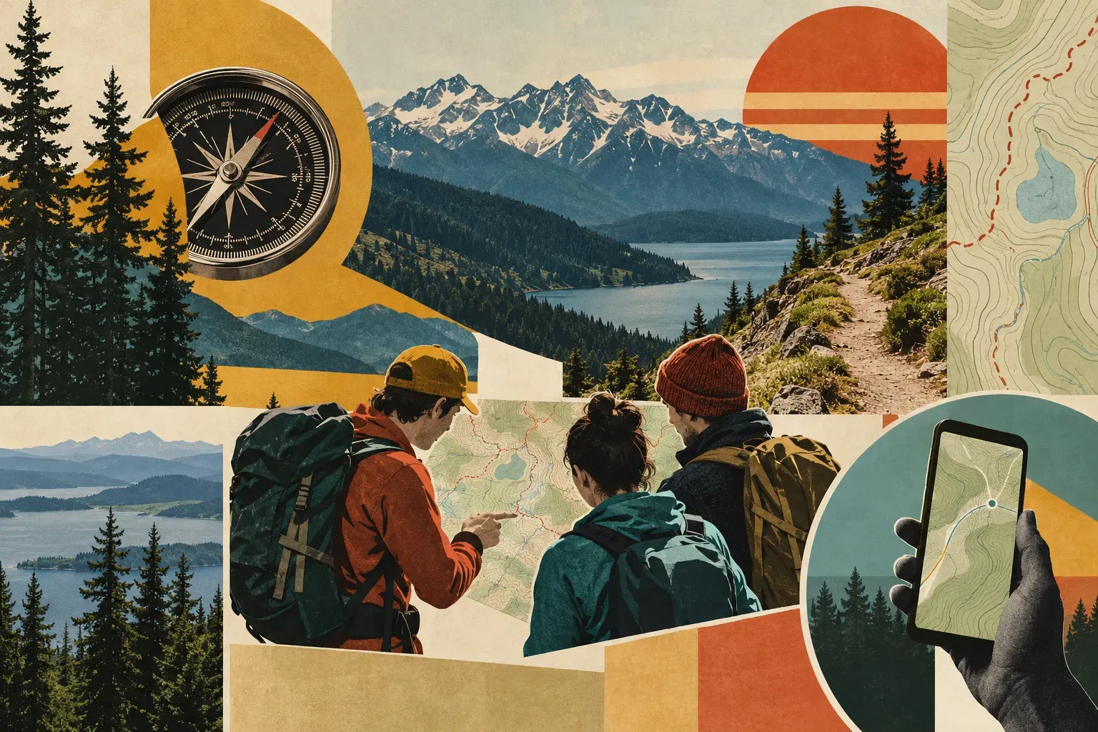
- A park map and a way to navigate without relying entirely on a phone signal.
- Sun protection – hat and sunscreen even on a cool day.
- Comfortable footwear for the surface you’ll be walking on, as well as mobility equipment if you need it.
- A charged phone, a light and an emergency plan suited to the location.
- Medication and other personal supplies, with enough time and capacity for a change of plans.
- A person who knows the route and expected return time.
Don’t remove essential water or layers just to lighten your pack. Check with a ranger for route specific needs, particularly on remote, desert trails. Remember to carry out all your trash and to be aware of and follow park rules for protecting wildlife and cultural resources.
How to Check Current Conditions
First check the NPS alerts and conditions page for your park. Note the date of the last update and search for your chosen trail, access road and visitor facilities. Be aware that an alert may only apply to part of a park. A quiet alerts page does not necessarily mean that every mile of trail in the park has been checked that morning.
Check the National Weather Service forecast for the specific location and elevation of the trail you will be on. Look at the wind, rain and temperature. Check the park and state road notices for any current conditions or closures, especially after a storm.
Contact a ranger if sources conflict or there is no information about accessibility. Ask about surfaces, slopes and facilities. Save your plan offline and be ready to turn around.
Frequently Asked Questions
Which national parks are warmest in winter?
South Florida and lower desert elevations may be warmer than some of the other national parks but there is no single warmest national park for all seasons. Everglades, Death Valley, Big Bend and Saguaro National Parks are often warmer than the higher mountain parks in winter.
Can beginners hike in December?
Yes, provided the route is appropriate for their experience level and physical abilities and there is sufficient daylight to complete the hike safely. A beginner on a dry, pavement based route will have a very different experience on the same distance on ice or rough rock.
Do national parks close in winter?
There are many parks that remain open year round; however, there are many roads, trails, visitor centers, etc. that close for the winter season or only open on certain days. Be sure to check the specific park that you are interested in visiting to find out what is open and what is closed.
Are desert parks safe after dark?
Even in the desert, darkness can bring many problems including navigation, temperature, and footing. A short route can be very difficult to follow in the dark. Plan to complete your hike during daylight hours. If you are going to go out in the dark, make sure you have the proper equipment and knowledge to complete your hike safely. Do not rely on your phone’s flashlight for your only light.
Do I need reservations?
Reservations may be required for park entrances, campsites, tours, etc. and can vary depending on the park, activity, campground, etc. and the date of your visit. Check the official park page and its linked reservation service for your specific plans.
Trail and planning sources
- Death Valley hikes, accessibility details, Salt Creek reopening notice and conditions.
- Big Bend desert hikes, Rio Grande Village trail, accessible first section and conditions.
- Saguaro Desert Discovery, east district trail accessibility and conditions.
- Joshua Tree Hidden Valley, trail surface, Barker Dam and conditions and closure map.
- Everglades dry season, Anhinga Trail, Gumbo Limbo Trail and conditions.
- National Weather Service for location specific forecasts.
Comments