Learn the Map Before You Need Its Answer
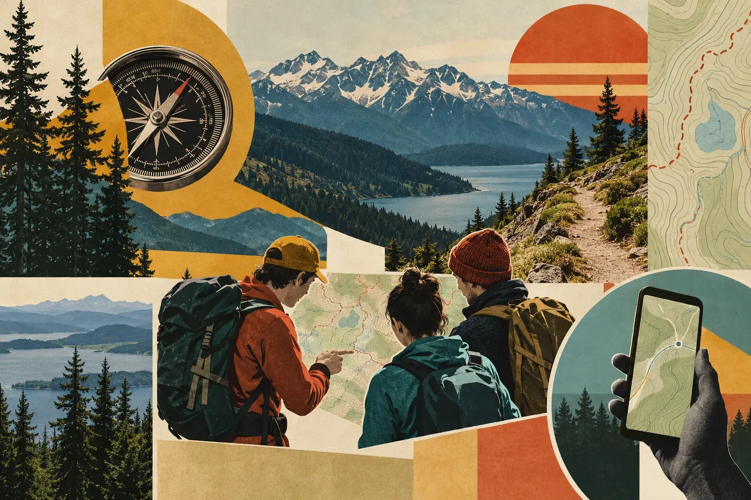
The useful part of a map is not having it but knowing how to apply the information on it to the route you plan to take for your Pacific Northwest day hike. This is far more important than acquiring lots of fancy gear.
The Mountaineers’ navigation overview distinguishes on trail navigation from wilderness or basic navigation. Before signing up for a course, it is good to know what is covered in the course and what you are hoping to learn in the course. The course title is just the beginning of your reading of the course description.
For on trail travel, the description of these courses is to learn to read topographic maps, recognize terrain features, understand map scale and map symbols, use a compass and use GPS units. These skills help a day hiker stay aware of their location on a trail without preparing for a remote expedition.
Perhaps the map’s scale is clear but its symbols are not. Perhaps the route makes sense at home but remains hard to connect to the terrain. These are good questions to take to any navigation course. As always, use the questions you have to find out more about the course and whether it is suitable for you.
The description of course formats, including workshops, homework and outdoor practice can vary greatly by branch, season and even individual instructors. Read the actual listing for the course that you are interested in to see what format the course will take and if there is space available for the specific date and location that you are interested in.
I am not recommending a current enrollment opportunity. This packet contains no verified price or available place. Choose a course based on its stated content and requirements, then confirm the details with the organization.
Another point of consideration for prerequisites is that introductory instruction may not satisfy another course’s navigation badge requirement. Again, this is something to check with the organization offering the course.
The actual learning aim is much more important than the title of the course. A more demanding course title does not mean the course is right for you. Learning should answer a question that you have, not provide a more impressive title for what you already know.
I work in a library, so I understand the difference between finding information and knowing how to use it. A map can present information clearly and still ask the reader to work with it. I would rather help someone find out how to use the map for learning rather than have the map be the end all and be all of learning for that person.
The same can be said for scale. Again, the course descriptions explicitly include scale as part of on trail navigation. This column is not trying to teach the reader how to calculate distance using a map. The point is that interpreting a map involves skills that can be taught and practiced.
Map symbols and terrain recognition deserve the same attention. A person should be able to ask what a line or symbol on a map means without first proving that they have experience with on trail navigation. These basic questions of map reading are good to learn near the beginning of learning to use a map for on trail navigation.
The overview includes compass work. Bearings and declination involve instruction and appear in the course descriptions.
Then there is the matter of digital navigation on trail. Digital navigation has its own learning tasks. The Mountaineers describes downloading maps, route planning and combining electronic tools with map and compass skills.
I am not reviewing a particular app. No featured product has been tested for this article, and the packet supplies no performance comparison. A course description’s download instruction does not establish how every device behaves offline. The reader should read the actual documentation for the tool of interest and use that as the basis for their decision as to whether or not to use that tool.
Washington Trails Association’s navigation overview stresses knowing tools and preparing at home. This is good stuff for learning to use information on a map for on trail navigation.
The goal for day hikers would be to learn enough about reading a map to make sure that they are more aware of the route that they are on, and can pay more attention to enjoying the day’s outing. This is very different from proving that one has the expertise to navigate in the wilderness for a group of people.
I would talk with my companions about the level of responsibility for navigation on our hike. If only one person understands the route and plan for the day, then we should acknowledge that before we start. This doesn’t have to be a big argument, but we can talk about the route and make sure that everyone on the hike has access to the information that they need to understand the route and plan for the day.
I would treat this discussion with respect to the different learning levels. One person may be comfortable reading the map, and another may be learning its terms. The day does not have to be spent pretending that everyone has the same level of ability and following a plan that was based on the assumption that no one had any questions.
These are good things to look for in a course description for on trail navigation. The homework and field work for on trail navigation can be set up in a number of ways and can be a good way to test out what you have learned and see how well you can apply it in a real situation.
I have not taken any of the described courses nor have I ever taught any of them. The stated subjects give a day hiker reason to investigate instruction. Choosing a provider still calls for the actual listing and the reader’s learning aims.
Seeking a refresher of skill on a previous hike does not necessarily mean that the previous hike was poorly done. Rather, the more experienced hiker can identify a question or problem that they have with the previous hike and then address that issue rather than maintaining the illusion of perfect knowledge of previous hikes.
The on trail description is a good place to start for someone who is intimidated by the thought of learning to use a map for on trail navigation. The introductory options for on trail navigation are listed in the overview and can be used to start reading about the course content, format, and any requirements for the course.
But learning to use information for on trail navigation is not the same as having up to date information for the route that you plan to take. This article does not provide information on trail clearance or on trail reroutes that are not marked on the map.
In the plan, any technical question that remains unresolved should be clearly visible. It should not be hidden behind the use of a phone, a compass and a confident companion in the same bag of assumptions. This gap needs to influence the choice of the outing or the instruction before someone is counting on the answer to that question.
The benefit of learning to use a map for on trail navigation can be modest and still be satisfying. For example, the reader could learn to better understand scale on a map, or to better understand what types of questions to ask about a digital tool for on trail navigation. This is better than making out that the reader has become some sort of wilderness expert.
There is room to return to a skill too. Seeking a refresher need not mean every earlier walk was careless. I would rather see an experienced person identify a question openly than defend a gap through saying they have always managed. The relevant aim is understanding the next plan, not maintaining a flawless account of every outing already completed.
For the next day hike, I would review the route for that hike and find out what questions I have about reading the map for that hike. Then I would look at the course descriptions for the on trail navigation courses and find out what is covered in each of those courses and what the requirements are for each of those courses. Then I would check the actual listing before making arrangements. Learn the map as a way of understanding the walk. The paper or screen should be something you can use, rather than something carried in hope.

Comments