Read the Road Before a Kennesaw Hill Walk
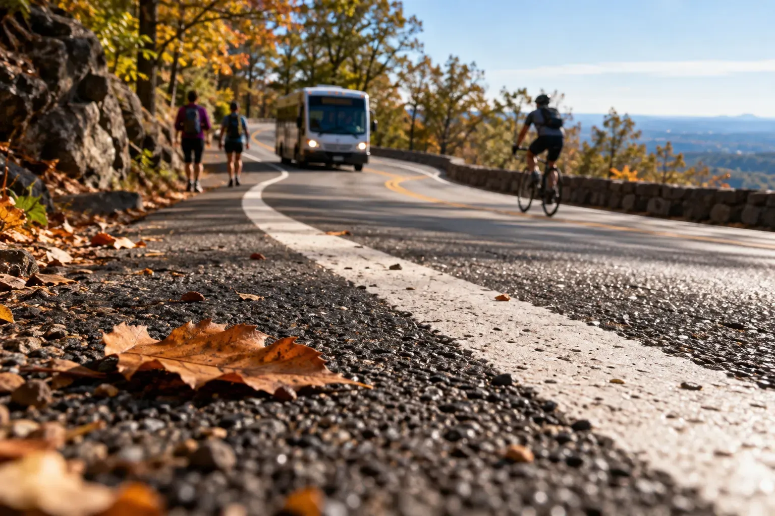
A paved walk can still require a careful choice about the setting. At Kennesaw Mountain, I would distinguish the Mountain Road from the separate hiking trail. These are separate routes and should not be referred to by the same name.
In a notice dated December 29, 2025, the National Park Service described changes starting January 6, 2026. The plan closed Mountain Road to private motor vehicles and included a striped pedestrian lane alongside shared use by shuttles and bicycles.
The notice describes a 1.5 mile paved road to the summit. It calls the road steep, narrow and winding, with a 12% grade and blind curves. These details show that pavement alone does not describe the whole walking commitment.
The separate, unpaved hiking trail is described as 1 mile long and is not affected by the changes to the paved Mountain Road. I would keep the route names clear when discussing the walk with a companion. The choice of route belongs to the reader.
I’m a physical therapist assistant and I am interested in helping people make informed choices about physical activity. The road description can help someone choose an outing. I am not using the description of the Mountain Road to prescribe a hill workout or to assess the reader’s knee.
The reader would want to know which of these two settings they were reading about before they could arrange a walk there with a companion. The information about the mixed use of the paved road would also be of use to know.
The closure of Mountain Road to private motor vehicles does not mean the road is only for people on foot. The notice includes a striped pedestrian lane alongside shared use by shuttles and bicycles.
I would approach any other local walking plan in the same way. Ask what restrictions are actually being imposed by the change in use and then list the remaining uses. This is more helpful than the headline, which can create the impression that the walk is simpler than is actually the case.
The park said striping and other improvements to Mountain Road could limit access to the summit during the work. This is not a confirmed report that everything was completed by the time you read this. I would check current park updates and look for signs on the site.
The notice describes the intended shuttle use, but it does not provide a verified current operating schedule. A visitor who needs that information should check for a current answer.
Ask your companion which route you are planning to take and what the park currently says about access. Discuss which parts of the published description matter to you.
The road being paved does not mean it is accessible to all individuals with different abilities and use of various mobility aids. The description of the road in the notice provided a grade of 12% and stated that the road is narrow and winding with blind curves. I would use the park manager’s current accessibility information and ask specific questions.
For individual pain or health concerns, a clinician is the right person to consult. My work gives me a reason to care about clear route descriptions, but it does not give me an assessment of you.
The road is interesting to me as a potential choice for a walk, and that is why I would save the description of the route and the date of the description. I would not invent a walk that I had taken on the road or a conversation with a ranger about the road.
I would save the route description with its date when passing it along. That lets a companion see what the plan is based on. If a current notice differs, the difference is a question to resolve.
By the end of the planning process, you should have a named route and current access information for that route. Keep the paved Mountain Road separate from the unpaved trail, and remember the shared uses. Leave room for the park’s present instructions.


Comments